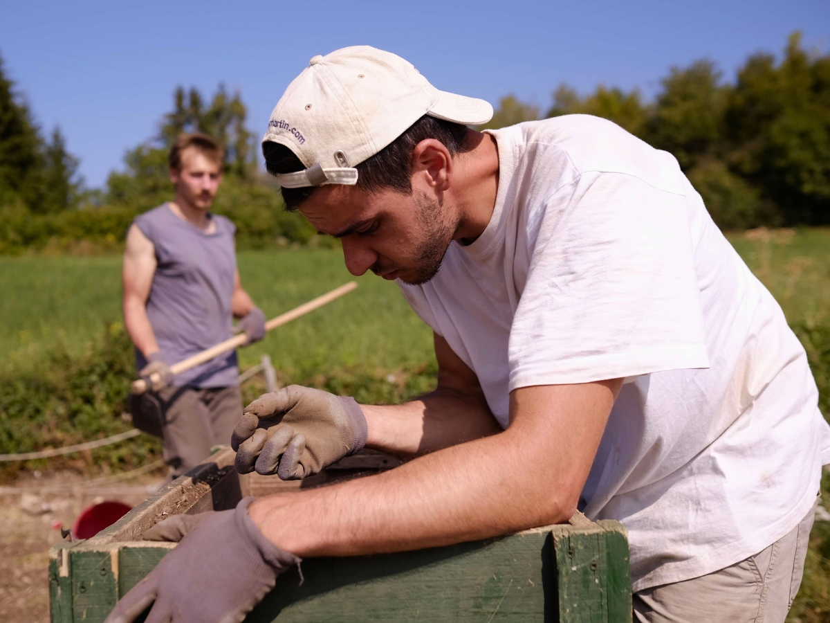

Archaeological analysis is more than just radiocarbon dating. Scientific methods are used at all stages of collecting and analyzing cultural heritage. In this blog, I’ll give a look behind the scenes into three different tools and techniques we used at Pistiros.
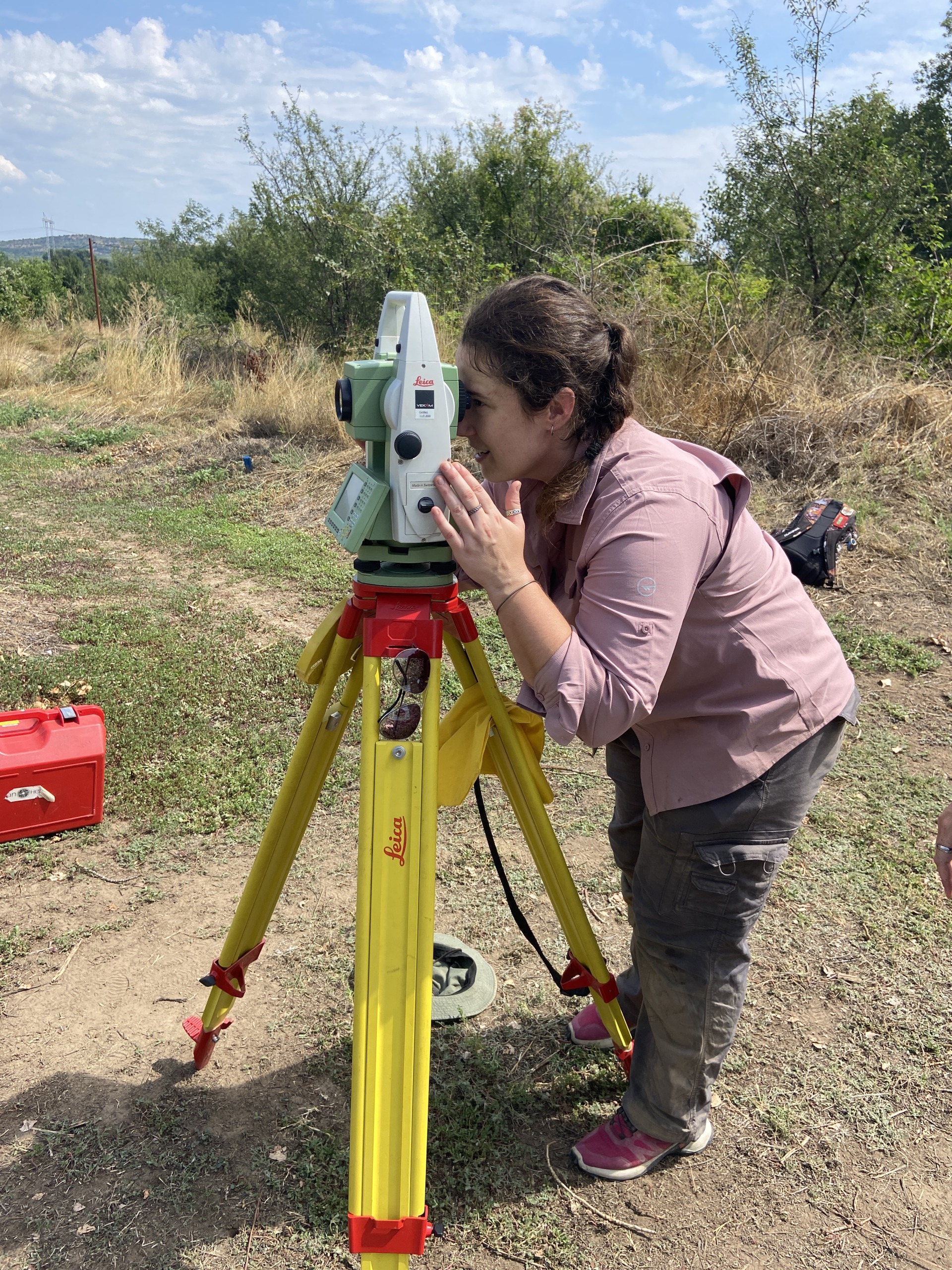
Monique tries her hand at the total station
Total Station and Dumpy
You’ve probably seen these used by surveying crews. The Total Station is the sophisticated version of the “dumpy”. They both help identify the height of a specific point in space, which is important for archaeologists to record the depths of artifacts and features. The dumpy is carefully set up each morning, and the daily level is recorded. The daily level is the height above sea level, taken at a fixed point every day. This helps us gauge how high the dumpy head is off the ground, since it will vary slightly, based on how it’s set up. To take a measurement, the head of the dumpy sits on a tripod for stability and functions like a telescope, using a set of mirrors to zoom into a point that is far away. A scale is held upright at the point at which the depth is to be taken. After adjusting the focus to see the scale clearly, the measurement on the scale is subtracted from the daily level to get the depth of the selected point.
The total station takes this to the next level, using a laser, prisms, and complex software to calculate, with incredible precision, the relative position of a point in space. Curious to learn more about how total stations work? Visit What is a Total Station and how does it work – Tiptop Surveying.
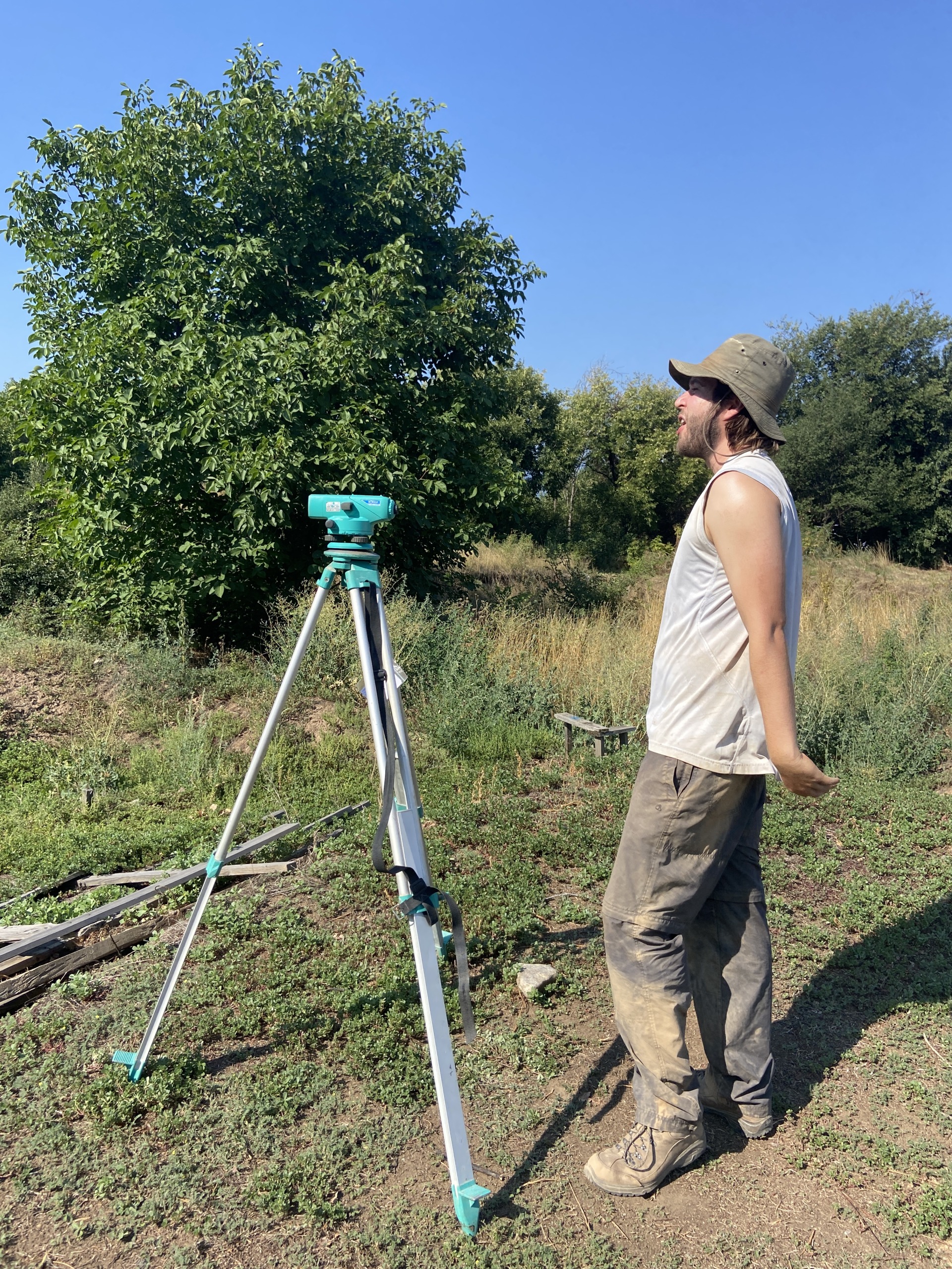
Rohan calls out a depth using the “dumpy”
Photogrammetry
Obtaining an aerial map of an archaeological site is key to documenting findings and progress. Even with a drone, taking an aerial photograph that’s high enough to capture the entire site would come at the expense of smaller details. This is where photogrammetry comes into play. Photogrammetry is the process of stitching together overlapping photos to create a 3-D rendering of an object or site. This allows a site to be viewed comprehensively without losing important feature details. To learn more about how photogrammetry works, visit Photogrammetry Guide 2023 – Definition, Advantages and Uses Explained – 3DSourced.
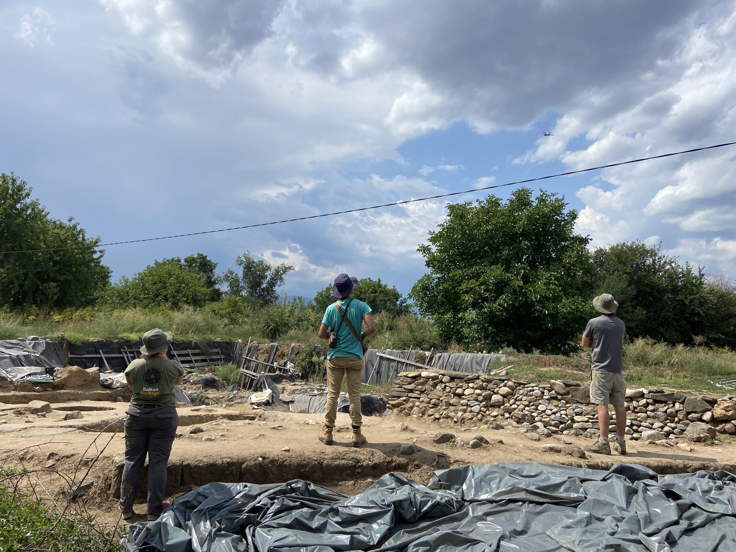
The team watches the drone take images of the sector
Reflectance Transformation Imaging
Reflectance Transformation Imaging (RTI) is a technology that, similar to photogrammetry, creates a composite view of many images. RTI has the added benefit of allowing you to manipulate the lighting within the software to see the surface of the object under different lighting conditions and from varying angles.
To understand the value of RTI, below is a quick description of how the technology works (For more information on how RTI works, visit Cultural Heritage Imaging | Reflectance Transformation Imaging (RTI)). The object is placed next to a shiny black sphere (like an 8-ball from pool), and a tripod keeps the camera directly over the sphere and object. Think of a dome covering the object. As the flash travels along this dome, the camera will capture images with the flash coming from various positions. The flash is reflected on the surface of the black sphere, and this reflection is captured in each photograph. The software calculates the point of origin of the light, allowing you to view the object from specific angles and lighting conditions.
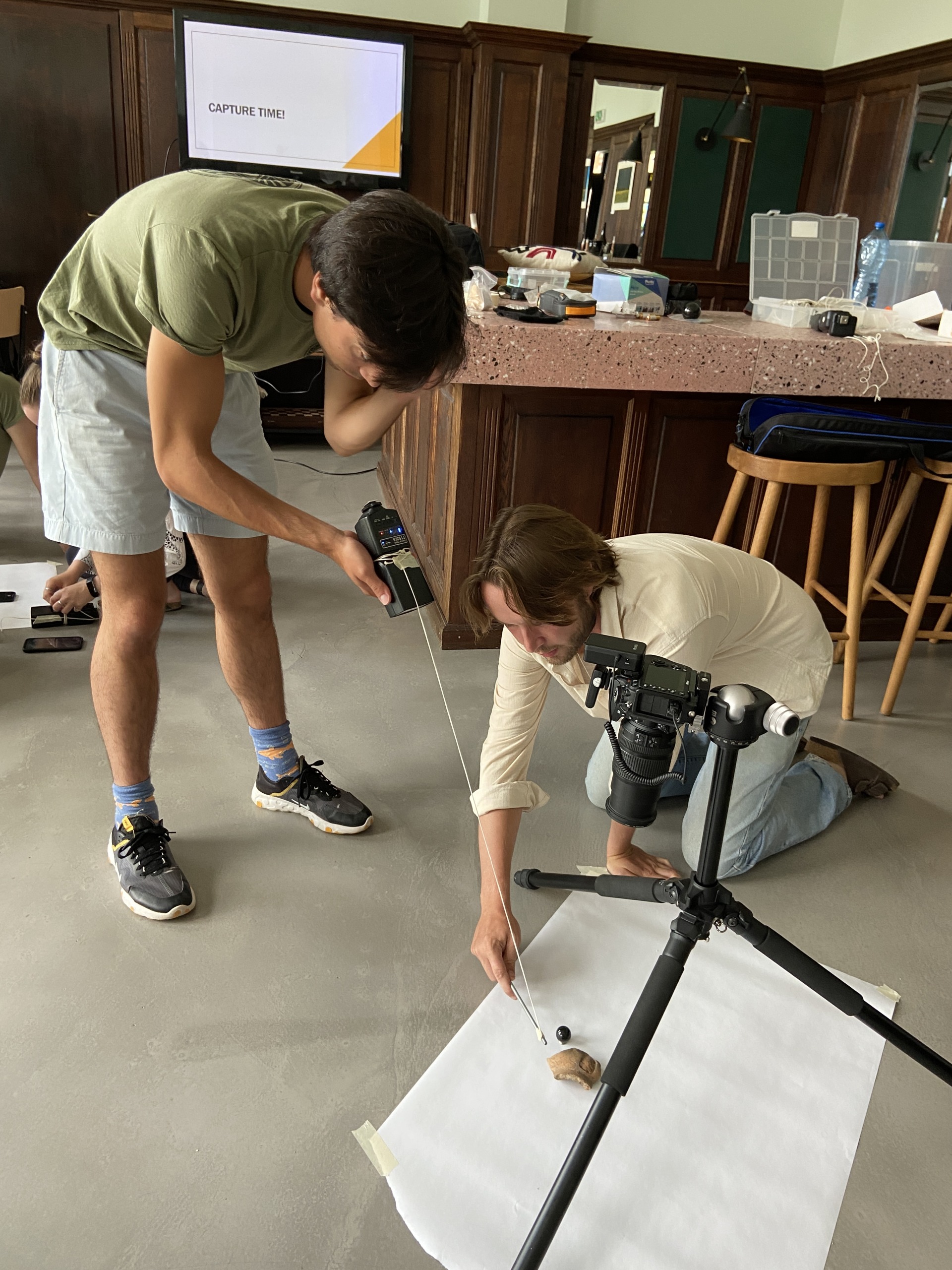
Trying our hand at capturing images of an artefact for the RTI software
This is extremely useful, for instance, with coins, where the surface may be hard to decipher. RTI empowers archaeologists to zoom into the coin’s surface and adjust the angle of view to see details, texture, and any divots or raised surfaces.
Archaeology doesn’t end when the trowel is put down. We’ve only just scratched the surface of the different scientific methods available. Numerous scientific methods help archaeologists generate interpretations and analyses of material culture. New techniques are constantly being developed, and with them, new discoveries and learnings are evolving every day.
Share this article
Follow us
Latest articles
October 17, 2026
October 17, 2026